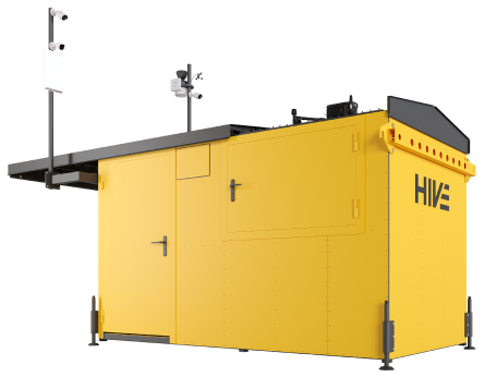
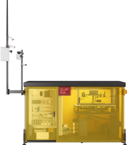
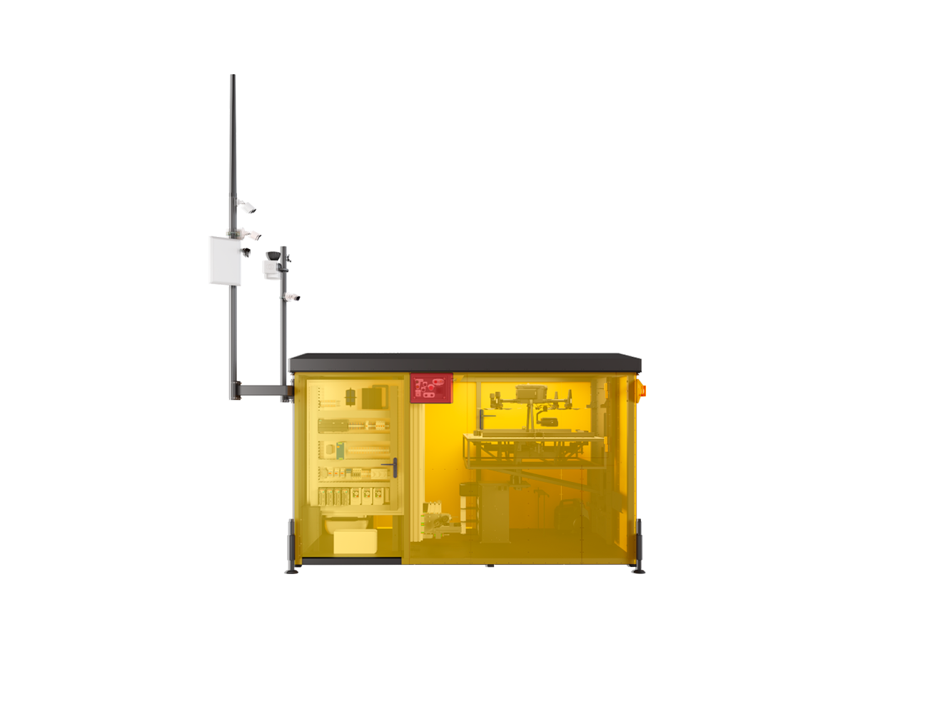
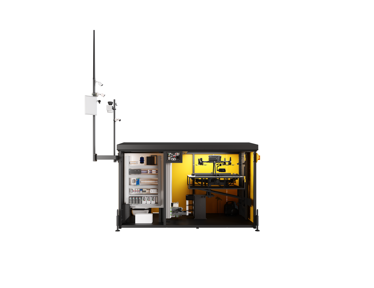
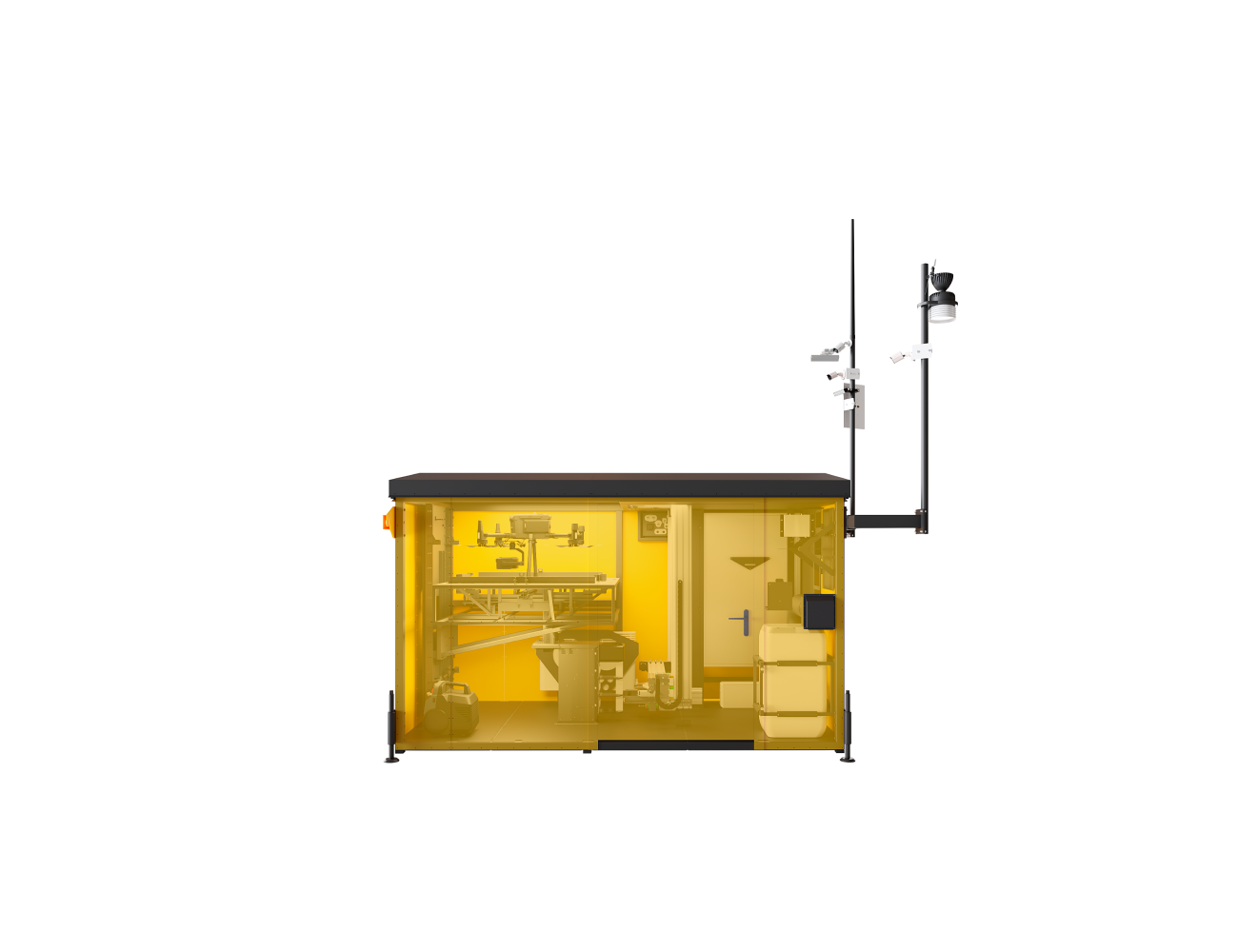
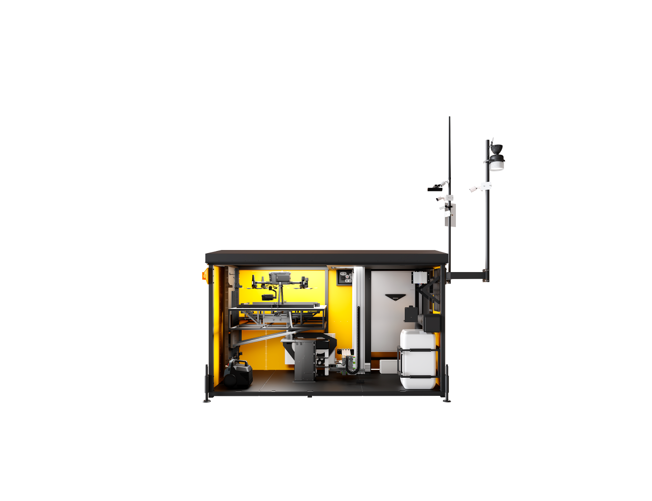
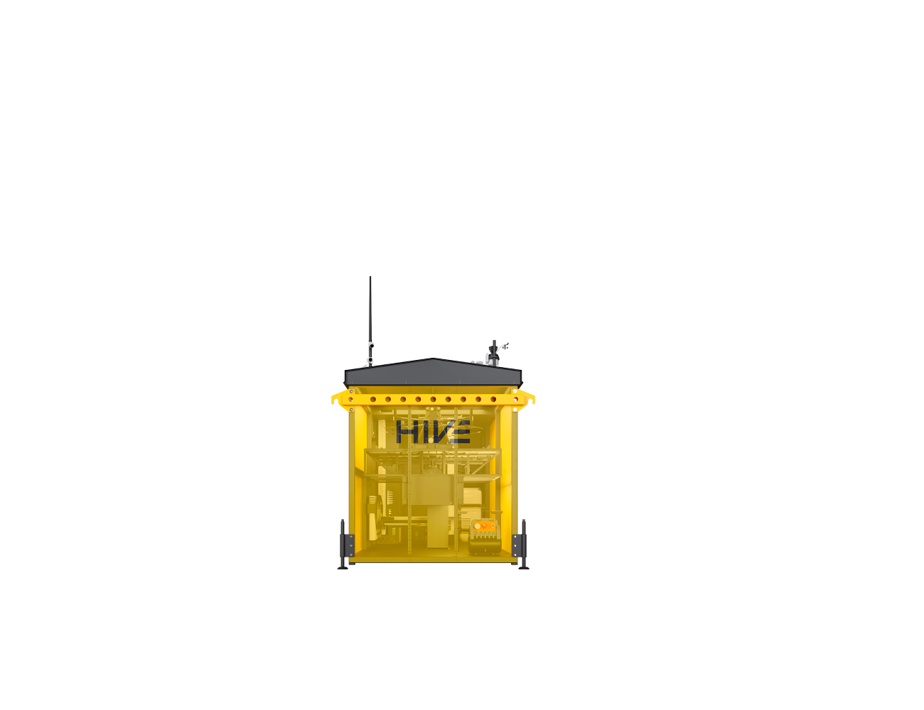
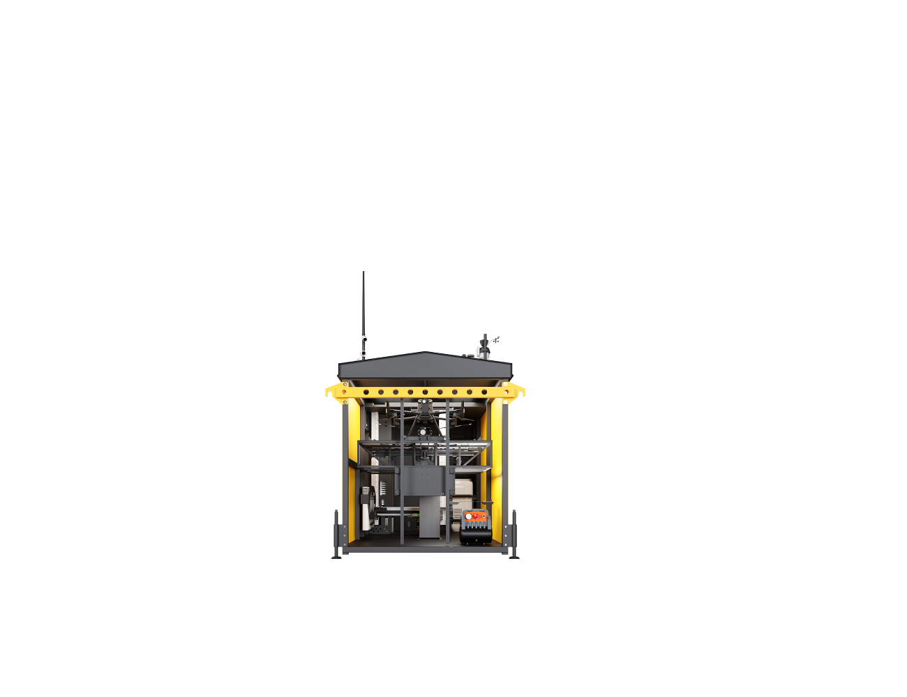
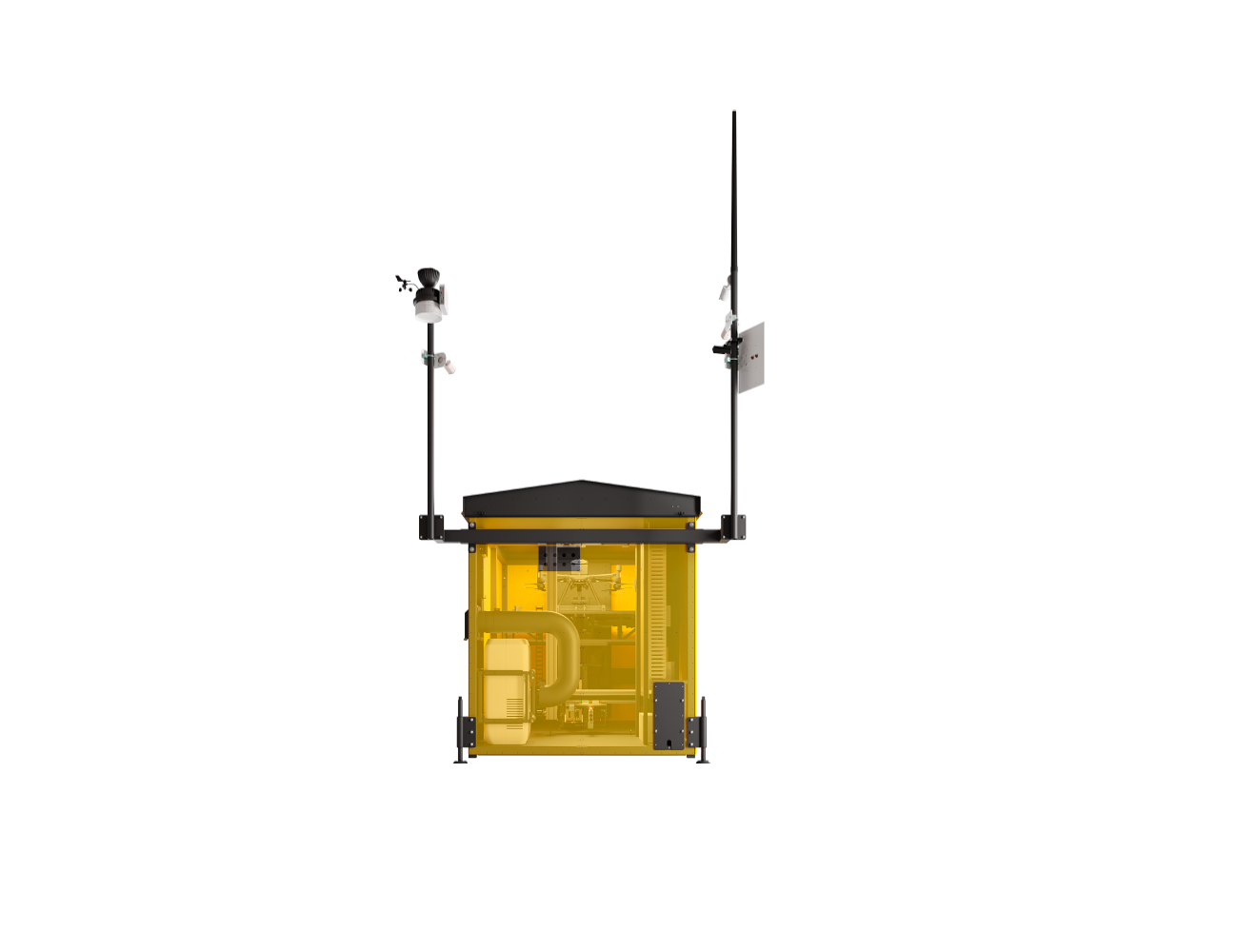
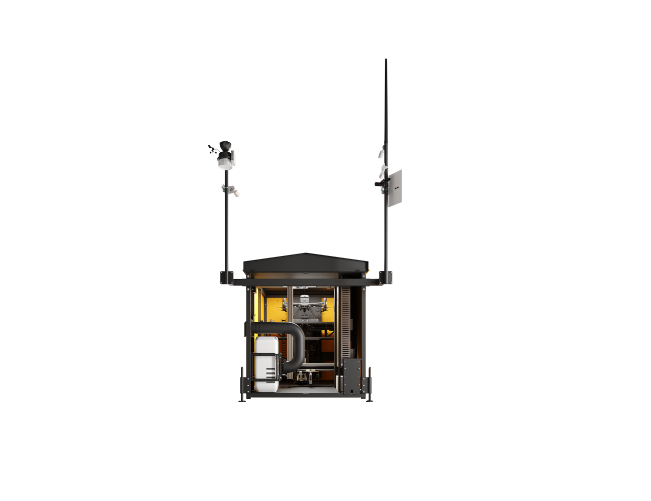
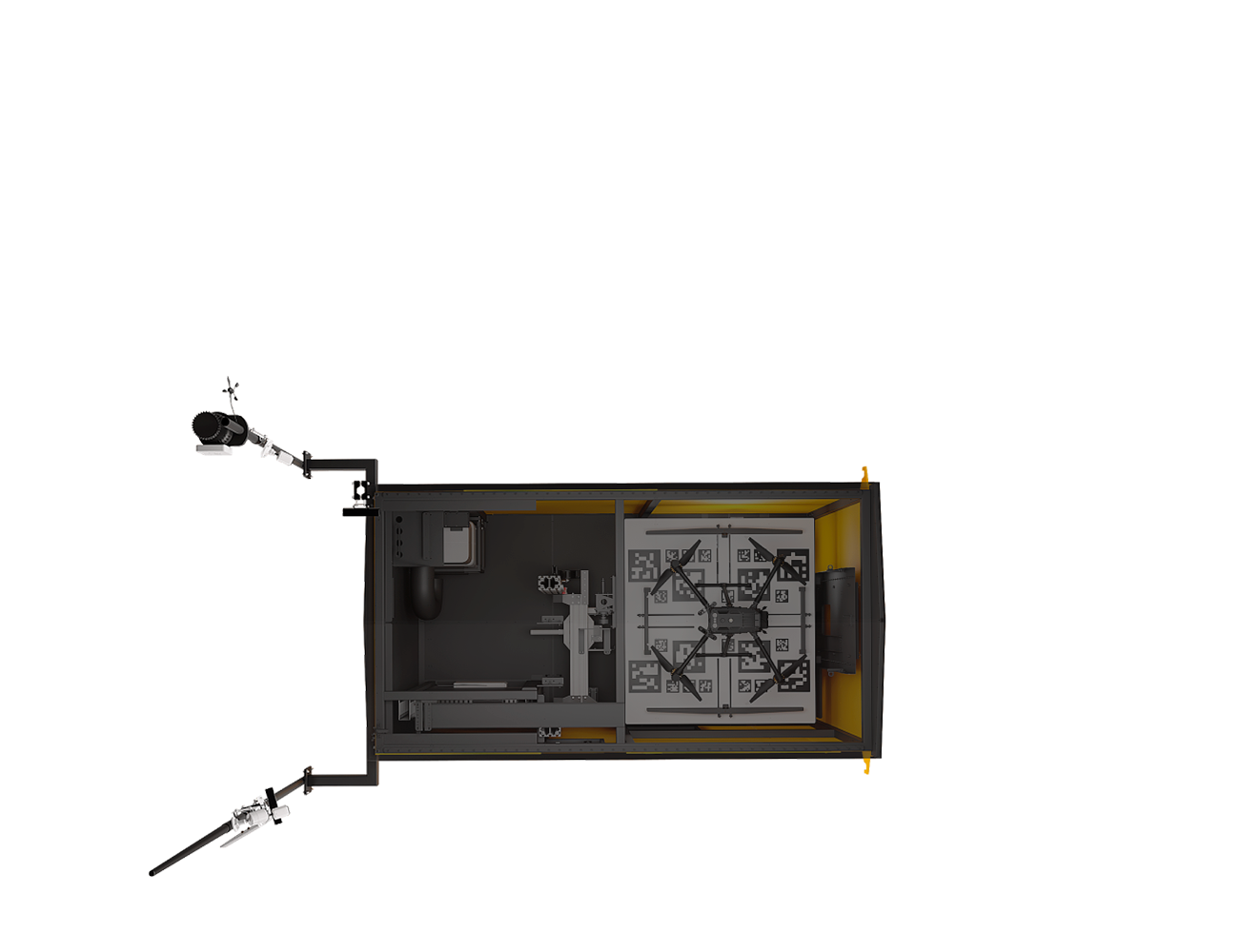
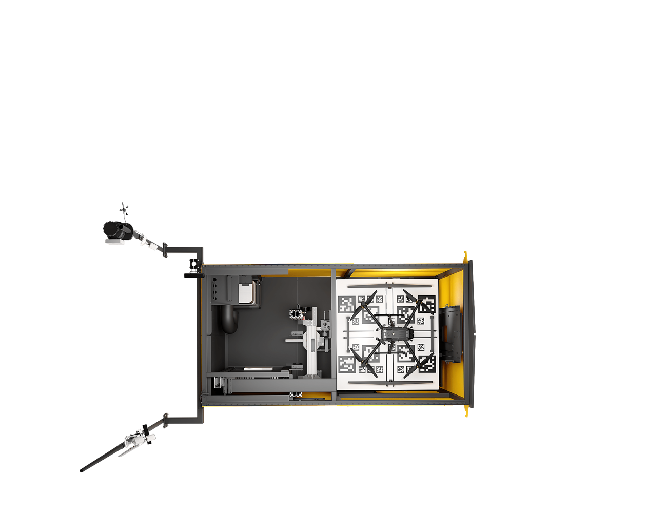
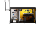
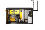
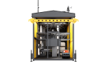
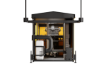
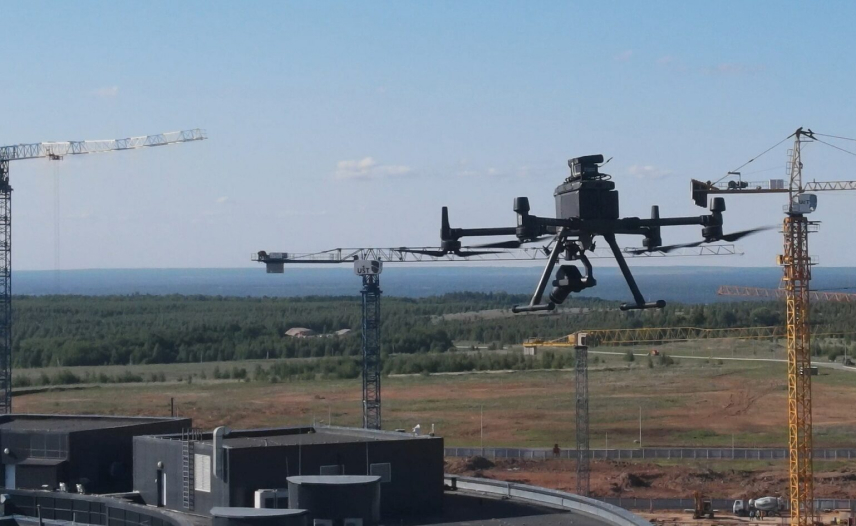
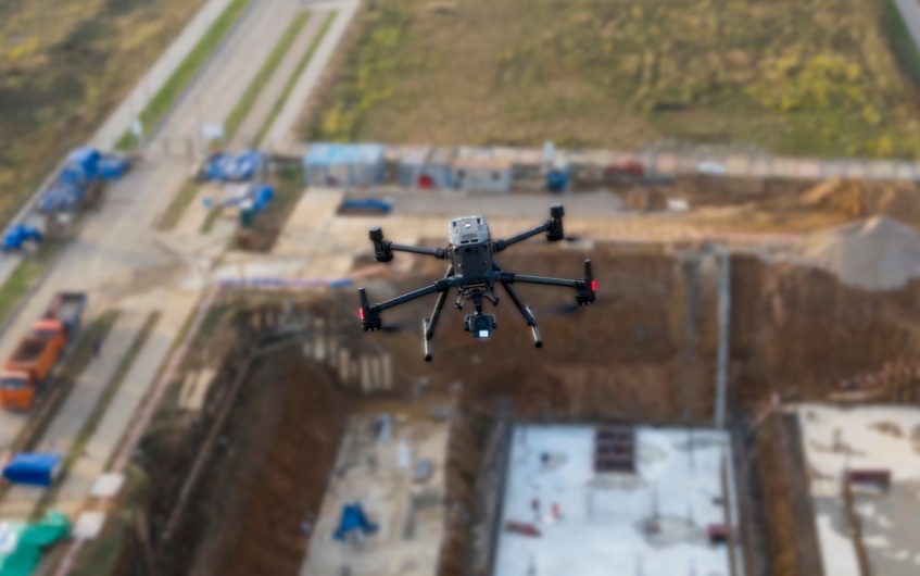
The first droneport serial production
company*
company*
Heat
operation temperature +50ºС
Rain
IP45 protection level
Snow
operation temperature -20°С
IP45 protection level
IP45 protection level
Night
flight automation
obstacle detection system
signalling lights
obstacle detection system
signalling lights
Wind
wind not stronger than 12 m/s
Fog
flight automation
obstacle detection system
obstacle detection system


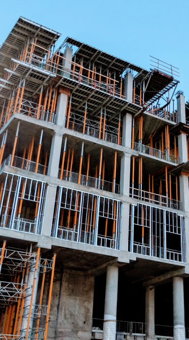
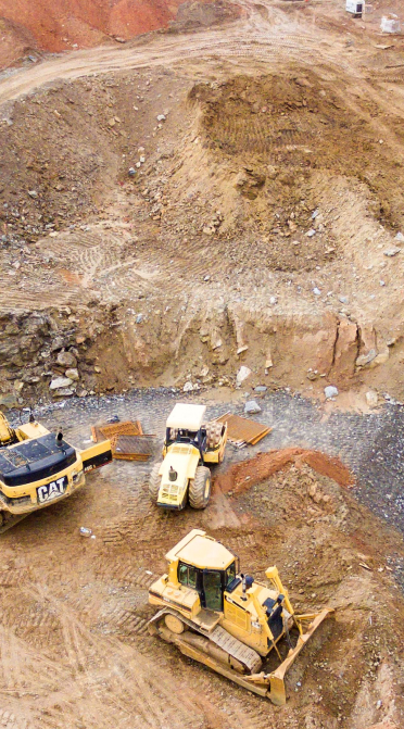
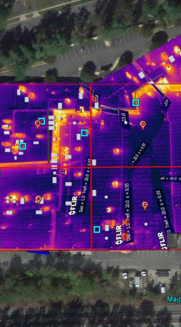


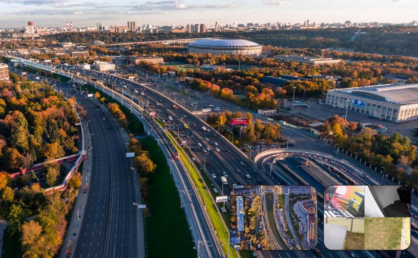
Services
3D model
textured georeferenced model based on the results of laser scanning or photogrammetric images processing
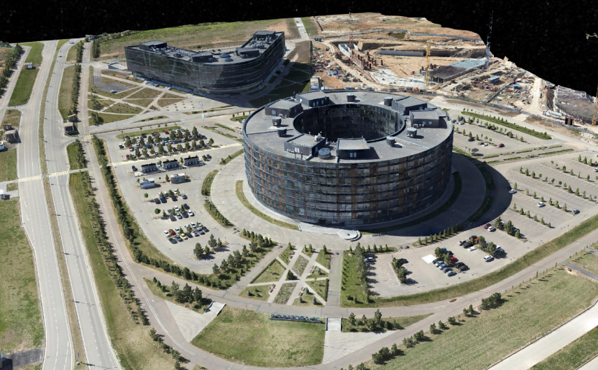
Photo monitoring
high-quality photos of general plans and any types of objects
Video monitoring
high-quality video for object monitoring, work progress observation and other tasks
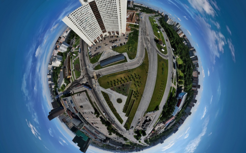
Virtual 360° tour
set of panoramic pictures for work monitoring, construction planning and tourist routes demonstrating
Thermal camera
monitoring
monitoring
Infrared photo and video showing the the distribution of temperature fields
Livestream
livestream for real time objects monitoring with the ability to choose a plan and camera angle
Orthophotomap
photographic terrain map with geodetic reference in the required coordinate system
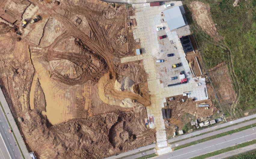
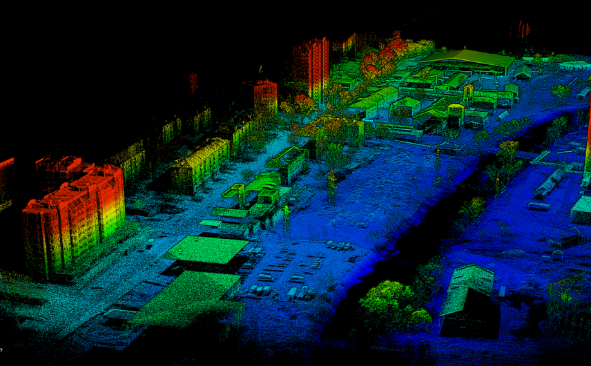
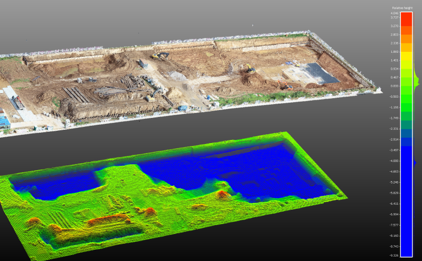
Cloud of points
large set of points obtained using laser scanning technology and photogrammetric image processing
Digital terrain/
landscape model
landscape model
3D display of the surface on the pointcloud basis
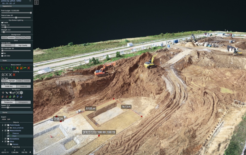
Volume
estimation
estimation
terrain digital twin with the subsequent ability to estimate soil, facade and other works
Our partners